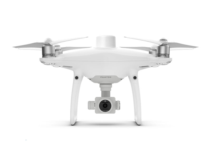
DJI has revolutionized aerial mapping with the Phantom 4 RTK. This aircraft gives you centimetre accurate data as well as easy and intuitive software. This is perfect for beginner to professional mappers! The aircraft is also under 2kgs making it compact and versatile enough to take on any site. Intelligent features such as GS RTK flight planning as well as OcuSync and D-RTK 2 integration make DJI Phantom 4 RTK a go to solution for accurate and reliable mapping, surveying and data collection.
- DJI Neo
- DJI Flip
- DJI Mini
- DJI Air
- DJI Mavic
- Avata | FPV
-
Handhelds
DJI Action 2 View All
-
Ronin
Ronin 2 View All
- Cinema
- DJI Power
-
Enterprise
Enterprise Sale View AllEnterprise Latest Arrivals View AllEnterprise Packages View AllDJI Matrice 4D Series View AllMatrice 350 RTK View AllDJI Mavic 3 Enterprise Series View AllMatrice 30 Series View AllMatrice 300 Series View AllMavic 2 Enterprise Series View AllPhantom 4 Enterprise Series View All
-
AGRAS
- DJI Dock
-
Hasselblad
907X & CFV 100C View All
-
Accessories
Accessories View AllGeneral Accessories View AllDJI Mini 4 Pro Accessories View AllDJI Neo Accessories View AllOsmo Pocket 3 Accessories View AllOsmo Mobile 7P Accessories View AllOsmo Mobile 7 Accessories View AllDJI RS 4 Mini Accessories View AllDJI Mavic 3 Pro Accessories View AllDJI Air 3S Accessories View AllDJI RS 4 Accessories View AllOsmo Action 5 Pro Accessories View AllOsmo Action 4 Accessories View AllDJI RS 4 Pro Accessories View AllDJI Mic 2 Accessories View AllOsmo Action 3 Accessories View AllDJI RS 4 Mini Accessories View AllDJI Mic Accessories View AllPolarPro View AllD1 Labs View AllUGREEN View AllD1 Services View AllD1 Labs Landing Pads View AllCamera Bags View AllDJI RC-N Series Accessories View AllDJI RC Accessories View AllPayload Release Systems View AllDJI RC Pro Accessories View AllDrone Safety Accessories View AllPhoto View AllFreewell View AllFreewell Sherpa Series View AllFreewell Galaxy Series View AllDJI Remote Controllers View AllPGYTECH View All
- Care Refresh
- Sale


